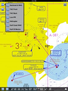
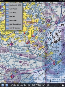
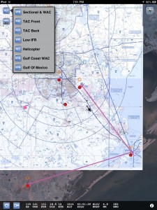
Three NEW geo-referenced charts for Helicopter pilots!
Besides the Heli chart itself you also get the Gulf Of Mexico and Gulf Coast WAC charts. The app also includes the VFR,TAC&FLY charts, as well as the Low Enroute IFR charts.
You also get ALL approach plates, A/FD information, published NOTAM, SUA info and Chart Legends for VFR,IFR&TPP (Terminal Procedures Publication).
AppStore link here.
This is what the new charts look like, please check out the other screen shots.


Enjoy
